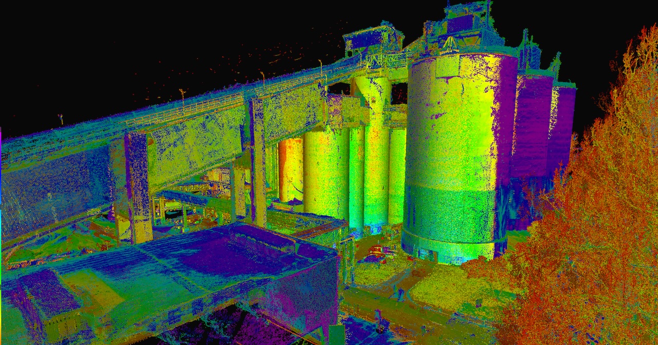
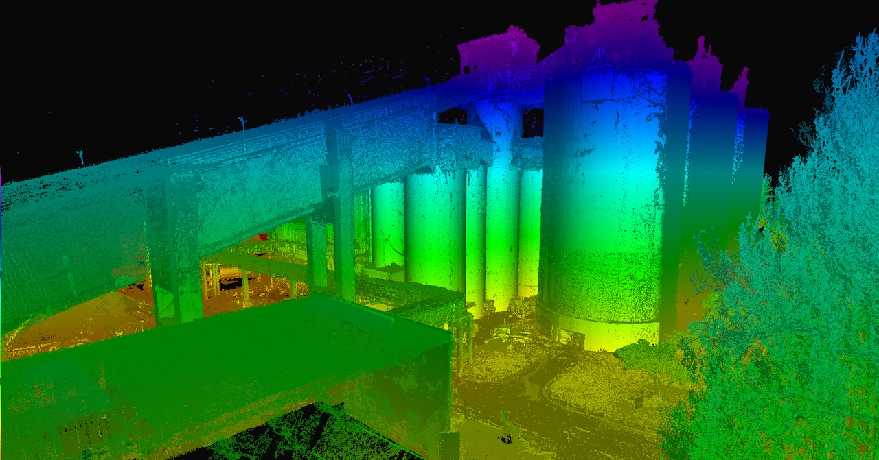
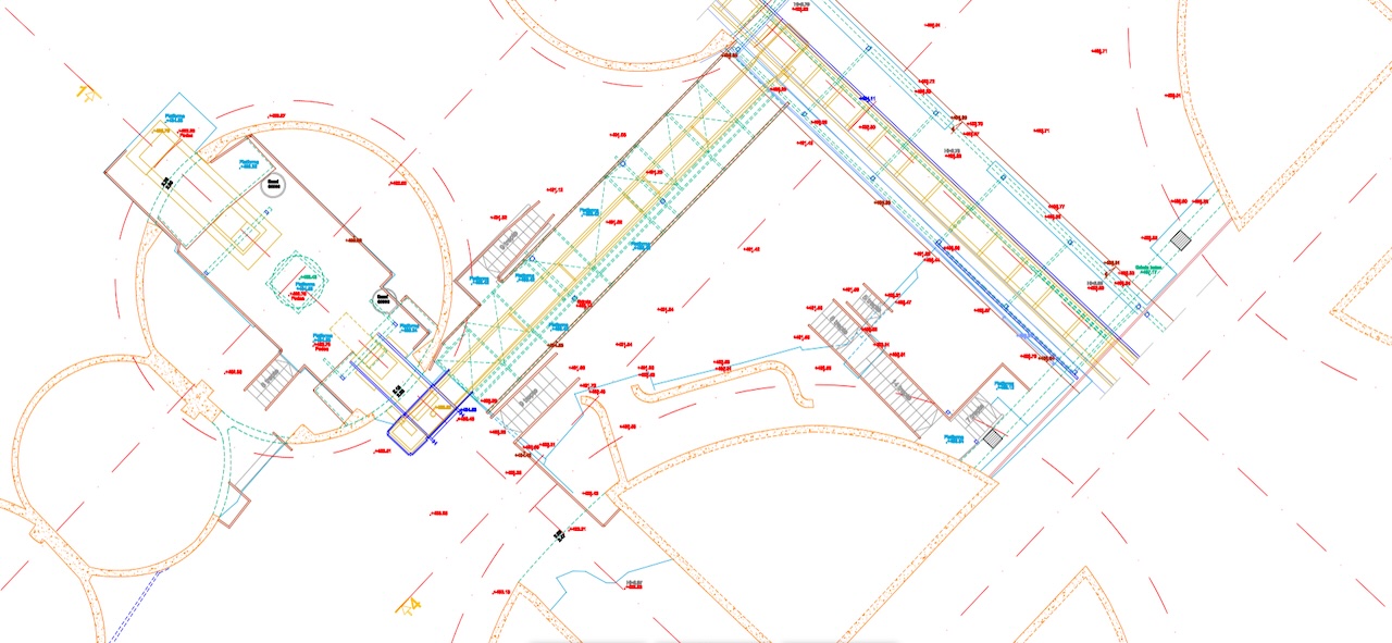
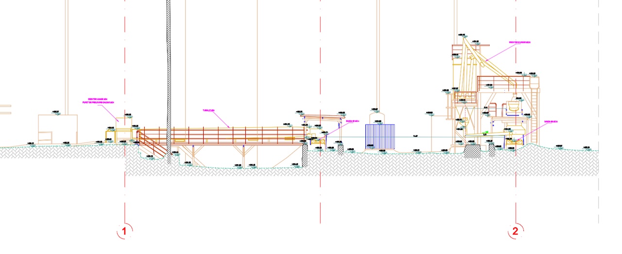
Graphein carried out terrestrial 3D laser scanning across approximately 800 sqm and developed detailed 2D survey drawings, including a floor plan and three sections. Beyond data capture, we assessed the project’s actual requirements and recommended a targeted documentation solution instead of a full LOD 300 BIM model, providing the information needed for design in a more time- and cost-efficient way.
The installation area was one of the most congested sections of the factory, with narrow spaces between silos, overlapping conveyor structures, numerous pieces of equipment and systems operating continuously. A traditional topographic survey would have required time-consuming point-by-point measurements, with the risk of additional site visits to capture any missing information.
The project also had an urgent delivery deadline. The initial approach, which involved developing a full 3D model at LOD 300, was estimated to take approximately 30 days. After assessing the design team’s actual requirements, Graphein recommended a more efficient approach: 3D scanning of the entire area, followed by a detailed floor plan and three relevant sections. This allowed the client to obtain the information needed in significantly less time, while avoiding the costs and extended timeline associated with full 3D modelling.
The client received accurate, verified site information without disrupting production. The point cloud also allowed additional measurements to be extracted remotely, eliminating the need for another site visit. By tailoring the deliverables to the project’s requirements, Graphein helped reduce design uncertainties, optimise resources and provide reusable digital data for future infrastructure upgrades.