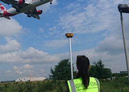
Are you interested in engineering surveying services?
TRUSTED BY


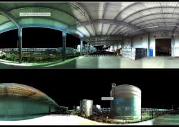
UTILITY
The beneficiaries of this service can be individuals or construction companies interested in their future investment being located in accordance with the project, with the existing property limits in the database of cadastral offices and real estate advertising.

BENEFITS
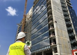
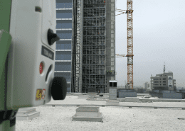
At Graphein we love to be proactive in providing relevant and necessary information for architects and designers, thus avoiding additional costs and delayed work. With increased attention to detail, the presence of our team on site helps you avoid assembly mistakes and thus repair costs. In addition, the presence of specialists ensures a continuous workflow. Tracing the elements in advance allows your teams to continue their work without interruption.
TESTIMONIALS
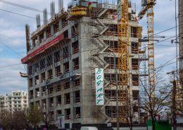
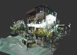
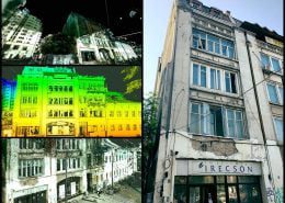
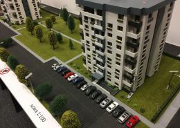
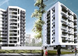
 The MIMO company started the collaboration with the Graphein team at the beginning of 2016, in a very important project for us, namely “The Landmark Bucharest” from 4/11 Vasile Alecsandri Street, sector 1, Bucharest. The Graphein team brilliantly provided topometric measurement and design services needed for the execution and installation of curtain walls and stone cladding.
The promptness, the very tight deadlines and the precision used in the project determined us to continue the collaboration we see for a long time.
For the professionalism and quality of its services, we recommend the Graphein team to those interested in a reliable partner.
ing. Radu Motrea – Director Executiv – MIMO
 When it comes to the design, execution and installation of facades, we always need professional and responsible surveyors to bring precision to our projects.
Graphein is our partner and we are lucky in this position and we work with them for their quick reaction and the professional way they approach the works.
They are not cheap, but they are the best in Romania and I am convinced that they will become a benchmark for their market.
The AL-PROMT team and I are very satisfied with Graphein and that is why we recommend them with all our responsibility, trust and professionalism.
Mihail Stan – General Director – AL-PROMT
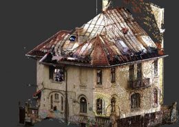
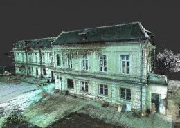
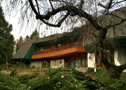
We collaborated with Graphein company for the survey of a building with a floor and an attic with an area of over 2,000 square meters and having a plot of 27,000 square meters, located on the shores of Lake Snagov.
We can characterize the quality of the products offered, the professionalism of the employees and the prompt delivery and execution as exceptional. We must emphasize the seriousness of the entire Graphein team in meeting all our requirements.
As a result of the very good collaboration with this company, we wholeheartedly recommend the products and services that Graphein can offer.
Arh. Ana Dane – Arhitect – sc BIP Real Invest
 It is our pleasure, SC ALUSYSTEM SRL to recommend the GRAPHEIN team, a team with which we collaborate on all our important projects. Working with them helped us from the beginning by bringing more precision, efficiency and professionalism in the design and installation of facades.
Ionuţ Drăghici – Commercial Director – Alusystem
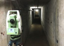
The Graphein team helps you get notices and other documents such as:
Topographic documentation
Plans with delimitation of properties and cadastral plots
Location plan, situation with elevations and contours
Situation plan with the representation of the details in the field
Plotting minutes
Drawing up the tracing network
Graph of deviations of the executed elements
Topographic survey for the building permit
Maps and topographic plans